About CNG
The Cloud-Native Geospatial Forum (CNG) exists to unlock the potential of geospatial data through adoption of commoditized cloud technologies and open collaboration on data formats – an approach that can be described as cloud-native.
Cloud-native approaches to working with geospatial data offer faster, more cost-effective access to geospatial data by enabling users to access data at any scale using HTTPS. For data providers, cloud-native approaches reduce maintenance burdens by taking advantage of commoditized, scalable, and durable cloud object storage infrastructure and APIs. These advantages combine to enable the development of web-based tools and open-source software that make geospatial data easier to access than ever before.
Our mission
To collaborate with geospatial data practitioners to create vendor-neutral events, content, and educational opportunities that make geospatial data easier to access and use.
Our vision
By making geospatial data easier to access and use, we seek to create a world where geospatial data is continually made more accessible, usable, and beneficial – empowering communities everywhere to make data-informed decisions.
What we do
- We organize events for our community, including development sprints, webinars, and conferences. If you want to organize an event with us, please write to hello@cloudnativegeo.org.
- We maintain online spaces and communication channels to enable collaboration and share updates from our community. Connect with the CNG community through the CNG Blog, the CNG Newsletter, LinkedIn, and our members-only Slack.
- We provide fiscal sponosrship through our parent organization, Radiant Earth. If you’re interested in having Radiant Earth serve as a fiscal sponsor for a project to make data easier to access and use, please write to hello@radiant.earth.
What we don’t do
- We’re not a standards organization. While we have helped our community develop new methods of sharing and storing data (like SpatioTemporal Asset Catalogs (STAC), Cloud-Optimized GeoTIFFs (COGs), GeoParquet, and Zarr), we do not create standards. We recommend working with the Open Geospatial Consortium (OGC) on standards development. We anticipate that our community will find new best practices for working with geospatial data in the future, some of which may become OGC standards.
- We don’t create or maintain code or standards ourselves. Our community is able to manage their own projects. We may sometimes help get projects started, but expect most projects to be managed by community members. We may act as a maintainer of last resort for projects that need a home.
Who we are
CNG is an initiative of Radiant Earth, a registered 501(c)(3) nonprofit organization. All administrative tasks and operations are carried out by Radiant Earth staff and contractors. CNG is governed by the Radiant Earth board of directors.
Our editorial board
We convene an editorial board from our community to define our agenda and help us identify opportunities to support documentation, educational materials, and other ways to improve accessibility and usage of geospatial data.

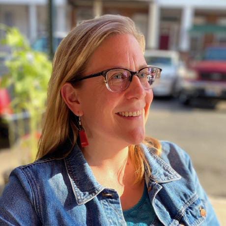
CEO
Earthmover
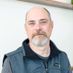
Geographer-at-large
Freelance

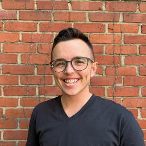
Founder
VorGeo

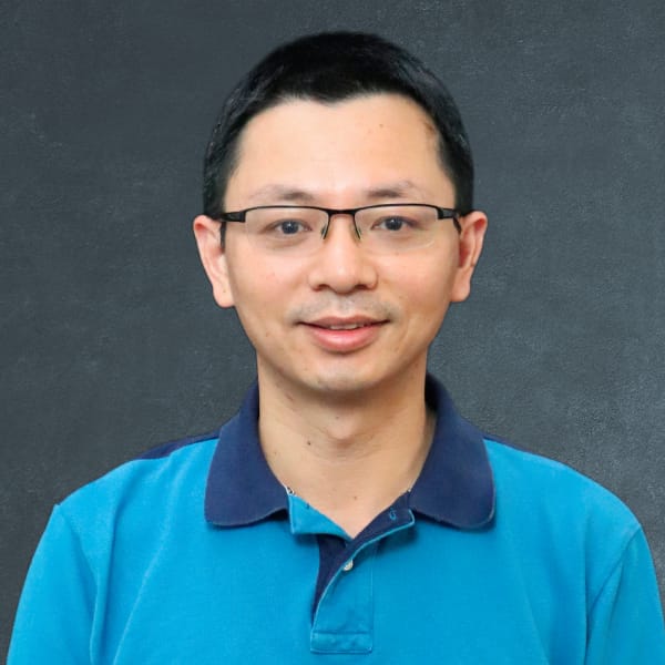
Director of Customer Engineering & Product Led Growth
Wherobots

Research Computer Scientist
NASA Marshall Space Flight Center Office of Data Science and Informatics
Principal Applied AI Engineer
LGND

Product Architect
Planet
Cloud Engineer
Development Seed

Founder
Geocentric Minds

Technical Director
Overture Maps Foundation

Co-Founder
thriveGEO
Associate Professor and Director of Graduate Studies
Department of Geography and Sustainability at the University of Tennessee, Knoxville
How we measure success
We measure success in terms of the size of our engaged community. If we have a continually growing and engaged community, we know we’re on the right track. We deliberately seek to include people from economically disadvantaged communities.
How we do it
We are funded through grants, event fees, and through our membership program.
CNG content is produced by community members with guidance from our editorial board.
Our values
These values guide our work as the stewards of the CNG Forum.
- Shared understanding. As an initiative of Radiant Earth, we share our parent organization’s mission to increase shared understanding of our world through community-led initiatives that make data easier to access and use. To enable shared understanding, we must create inclusive opportunities where anyone can learn and contribute.
- Speak through our community members. We don’t have the answers. Our community does. Our job is to create space for our community can find answers together and to provide opportunities for new leaders to emerge.
- Seek diversity of institutions. The CNG Forum deliberately convenes community members from a diverse set of global organizations including government agencies, academic institutions, international organizations, nonprofits, commercial enterprises, and startups. While we all work with geospatial data, we benefit from learning from peers who have different perspectives, priorities, and constraints.
- Always learning. We create opportunities for our community members to continually learn from one another as technology advances. Be open to new ideas and be wary of dogmas.
- Follow and share data about our community. We look for data that can help our community understand technologies that work and are practically useful. It is not our job to promote certain technologies over others, but we should be a trustworthy source of data about which technologies are being widely used and rapidly adopted.
- Go out. Our community is continually at risk of being too insular and we need to work deliberately to make sure we’re creating a larger and more diverse community of geospatial data practitioners. We need to go out and help bring new people into the fold, particularly people from different backgrounds and levels of experience.
- Go up. We also need to go up to executives and their advisors to help them understand why they should adopt approaches developed by our community. Engaging with senior decision-makers helps keep us honest and gives us feedback to understand if our community is producing real practical value.
If you want to support our work, please consider becoming a CNG Member.