Challenges for the CNG Community - 2025
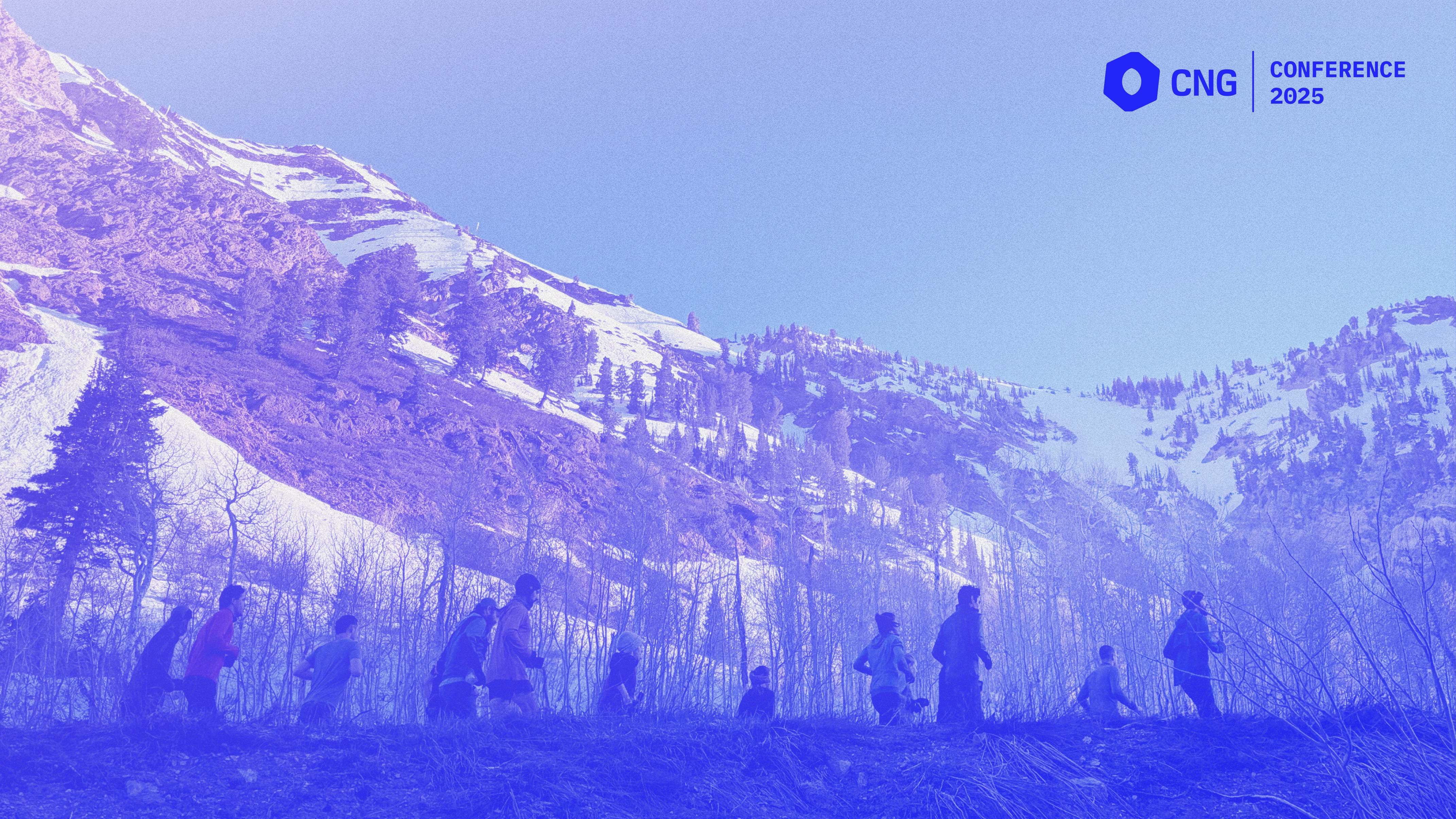
Running together at CNG Conference 2025
On the last day of CNG Conference, we held a facilitated discussion to identify what our community needs to thrive.
As Chris Holmes noted in his opening keynote, the geospatial field has reached a pivotal moment. We have more data, better tools, and greater computational power than ever before. The question now is how we use these resources to address real-world challenges. The six themes below emerged from our discussions and will shape our collective work in the coming year.
These challenges are deeply interconnected. Progress in one area often enables progress in others. And with AI rapidly changing the landscape, we need to stay adaptable and collaborative. We invite governments, funders, educators, enterprises, and entrepreneurs to join our community in this ongoing effort.
Geospatial education isn’t helping people get good jobs
The problem
Workforce and talent development surfaced as a top priority from the discussion. There’s a clear disconnect between current geospatial education and the needs of today’s employers. Many academic programs are slow to adapt, often relying on outdated tools and approaches. Meanwhile, the job market is evolving quickly, leaving students underprepared for the roles that are actually available.
The World Bank has called this a global “jobs emergency” – 1.2 billion young people will enter the workforce in the next decade, but only 400 million jobs are expected to be created. While geospatial skills alone won’t close this gap, they represent a significant opportunity. Sectors like climate adaptation are projected to grow from $1 trillion to $4 trillion by 2050, driving demand for geospatial expertise in energy, infrastructure, agriculture, disaster response, and urban planning.
The solution
We need to create more accessible, relevant training and credentialing pathways that reflect the realities of the modern workforce. A CNG Education Working Group came together at the conference and is already taking steps – meeting regularly, developing new materials, and sharing resources at https://github.com/cng-education. If you’re interested in joining, you can sign up here.
Some of our members are already actively offering training. In April of this year, thriveGEO started offering a Cloud-Native Geospatial 101 course, and we launched CNG Badges, an experiment we’re running to provide verifiable digital credentials for people who complete the course.
If you want to help expand geospatial job opportunities, email us at hello@cloudnativegeo.org with “Jobs” in the subject.
We’re creating too much disconnected data
The problem
Our community’s distributed network of curious, self-starting individuals creates remarkable innovation – but also fragmentation. We often develop multiple solutions for the same problems, with licensing and local requirements replicating the same datasets across different efforts. This diversity is both our strength and our challenge.
Yet GDAL, COG, Zarr, GeoParquet, PMTiles, and STAC all show how fast we move when we coordinate on shared technologies.
It’s time to apply this same coordination to more complicated shared data resources: global datasets, metadata schemas, identifiers, machine learning models, and other assets that enable large-scale collaboration. When everyone works with the same reference data, we can honestly compare tool performance and drive innovation through measurable improvement rather than isolated claims.
The solution
It’s time to collaborate on more complex shared resources: global datasets, metadata schemas, identifiers, machine learning models, and other assets that enable large-scale collaboration.
Governments and businesses that want to support global cooperation – whether for infrastructure, environment, or disaster response – should invest in shared data resources. This doesn’t mean giving up competition or unique contributions, but it does mean supporting the foundations that benefit everyone. Think of barcodes, Bluetooth, or shipping containers: these standards unlocked massive innovation because powerful organizations backed them.
We also need more organizations like Taylor Geospatial Engine that make meaningful investments to create global data products like the Fields of The World Project, which has amassed the world’s largest existing benchmark training dataset for extracting field boundaries from satellite imagery.
If you are creating shared data resources, email us at hello@cloudnativegeo.org with “Shared data” in the subject heading. We may be able to offer free hosting of data on Source Cooperative or fiscal sponsorship to receive grants that you have lined up.
Government partnerships aren’t working for the public
The problem
Our community sits at the intersection of public and private sectors, which creates persistent challenges around data ownership and access. Too often, government-funded innovations end up locked behind commercial IP, making agencies dependent on private vendors. This dynamic limits the public benefit of public investment.
As Paul Ramsey observed in his 2015 talk Data Pipes & Relevance, the government’s role as the arbiter of official data is changing. New models are needed to ensure that public investment leads to public returns.
The solution
We need to rethink how public investment in geospatial technology delivers broad social value. Government procurement officers in the US can use the OPEN Government Data Act to design contracts that avoid vendor lock-in and encourage collaboration – we assume that similar policies may be useful in other jurisdictions. Vendors, in turn, should see interoperability and accessibility as strategic advantages.
By the same token, vendors need to recognize the value of interoperability and broad accessibility of their services as a strategic advantage. We have plenty of evidence that this is already happening and we will continue to highlight good work being done in this space.
Additionally, as it becomes increasingly feasible for non-government actors to produce large-scale and widely-used data products, we need to recognize that the government is increasingly just one of many stakeholders that participate in community projects. This means that leaders of community projects should deliberately find ways to encourage participation from governments.
This may require the creation of new kinds of focused institutions that serve as stewards of shared resources, serving users across the public and commercial sectors. For a vision of what a new kind of institution could look like, read Unicorns, Show Ponies, and Gazelles on the Radiant Earth blog.
We don’t have enough money
The problem
Funding for geospatial infrastructure is under pressure. Government budgets are shrinking, and AI investments are drawing resources away from traditional geospatial work. Both commercial and nonprofit organizations need to find new ways to sustain their efforts.
Many nonprofits, including our own, have hesitated to charge for services, which has led to undervaluation and unrealistic expectations. The reality is that even the largest and wealthiest companies sometimes expect others to subsidize their participation. This isn’t sustainable.
The solution
We encourage organizations to explore new funding models: membership programs, value-added services, revenue-sharing partnerships, and more. Nonprofits should consider developing paid services – consulting, training, or software – that align with their mission and create value that is worth paying for.
We’re especially interested in working with peer nonprofits seeking sustainable, mission-aligned business models. If you want to discuss, email hello@cloudnativegeo.org with “Money” in the subject.
Data licensing issues are holding us back
The problem
High-quality data is costly to produce and difficult to price. Licensing is often used to recoup costs, but unclear, inconsistent, or missing licenses create legal uncertainty and discourage adoption. This limits the impact of geospatial data.
The solution
Our community needs clearer, more consistent approaches to intellectual property that support sharing while protecting legitimate interests. Standardized licensing frameworks – such as CC0 or the CDLA – make it easier for others to use and build on data. Avoid custom licenses and don’t use open source software licenses for data, as these create confusion and legal risk. If you want recognition or contributions, use community norms or incentives outside of licensing. Always provide a clear license for open data; unlicensed data creates uncertainty and discourages use.
Large players in AI have already moved quickly on this issue, creating the Model Openness Framework (MOF). Our community may be overdue for a similar effort.
We’re bad at marketing
The problem
The geospatial community excels at technical innovation but often struggles to communicate its value to broader audiences. This limits understanding and support among potential users and funders.
The challenge is to translate technical capabilities into terms that resonate with decision-makers. We need to understand what problems matter to users and clearly show how geospatial tools can help solve them.
The solution
We need more case studies and real-world examples. Effective communication means sharing stories that demonstrate value and make technical concepts accessible. We’re committed to producing more case studies and practical examples of cloud-native geospatial approaches.
If you or your customers have use cases to share, email hello@cloudnativegeo.org with “Case study” in the subject. We may be able to feature your work on our blog, in a webinar, or at a future event.
Moving Forward
These challenges reflect hundreds of conversations with practitioners across government, industry, academia, and civil society during the CNG Conference and throughout the year. This is an ongoing conversation, not a final answer.
Our role is to provide a vendor-neutral forum for these discussions. These six challenges are our current focus, and we’ll continue to convene the community to identify new opportunities as they arise. If you haven’t already, please join us.
This analysis is based on stakeholder dialogue from CNG Conference 2025, where over 250 practitioners from organizations including NASA, Google, DuckDB Labs, NVIDIA, Earthmover, AWS, Microsoft, Wherobots, Planet, Open Geospatial Consortium, Allen Institute for Artificial Intelligence, Schmidt Ocean Institute, Sparkgeo, Safe Software, Development Seed, Fused, Overture Maps Foundation, Mapbox, USGS, Meta, The Nature Conservancy, and others identified challenges for our community.
Our blog is open source. You can suggest edits on GitHub.